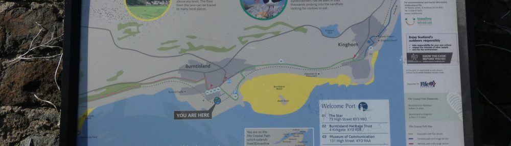

This important map of Burntisland before the railway came is now on the National Library site and can be laid on top of modern satellite images (and other maps).
Using the “Change transparency of overlay” slider in the search panel it’s easy to compare what used to be with now.
The map is highly detailed but some of the orientation – notably the Lamber Laws peninsula (now known as the Lammerlaws) – is inaccurate.
